Where Mountains Meet History
From the UNESCO-protected slopes of Golija to the serene banks of the Raška River, Novi Pazar is a gateway to untouched Balkan wilderness.
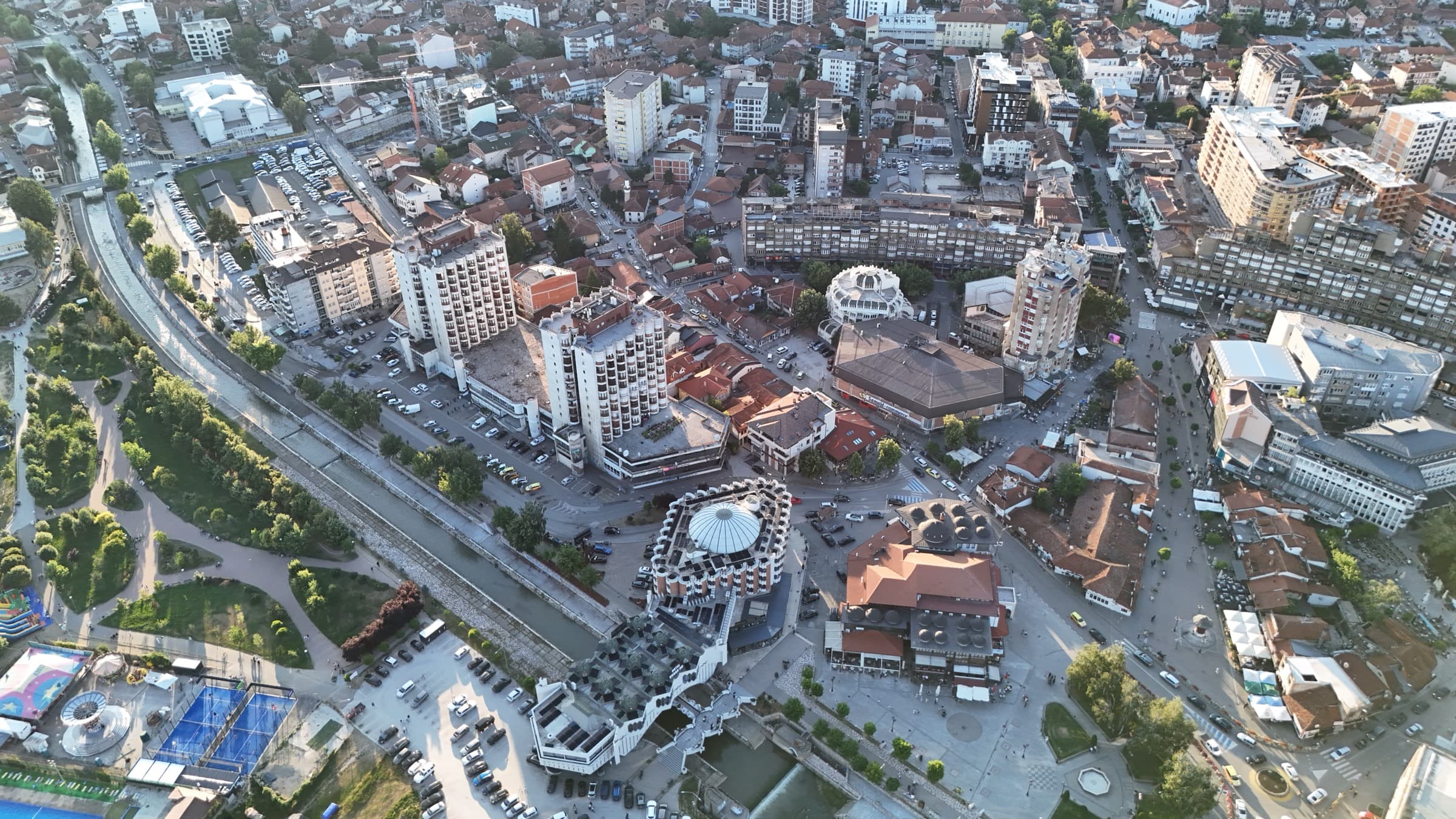
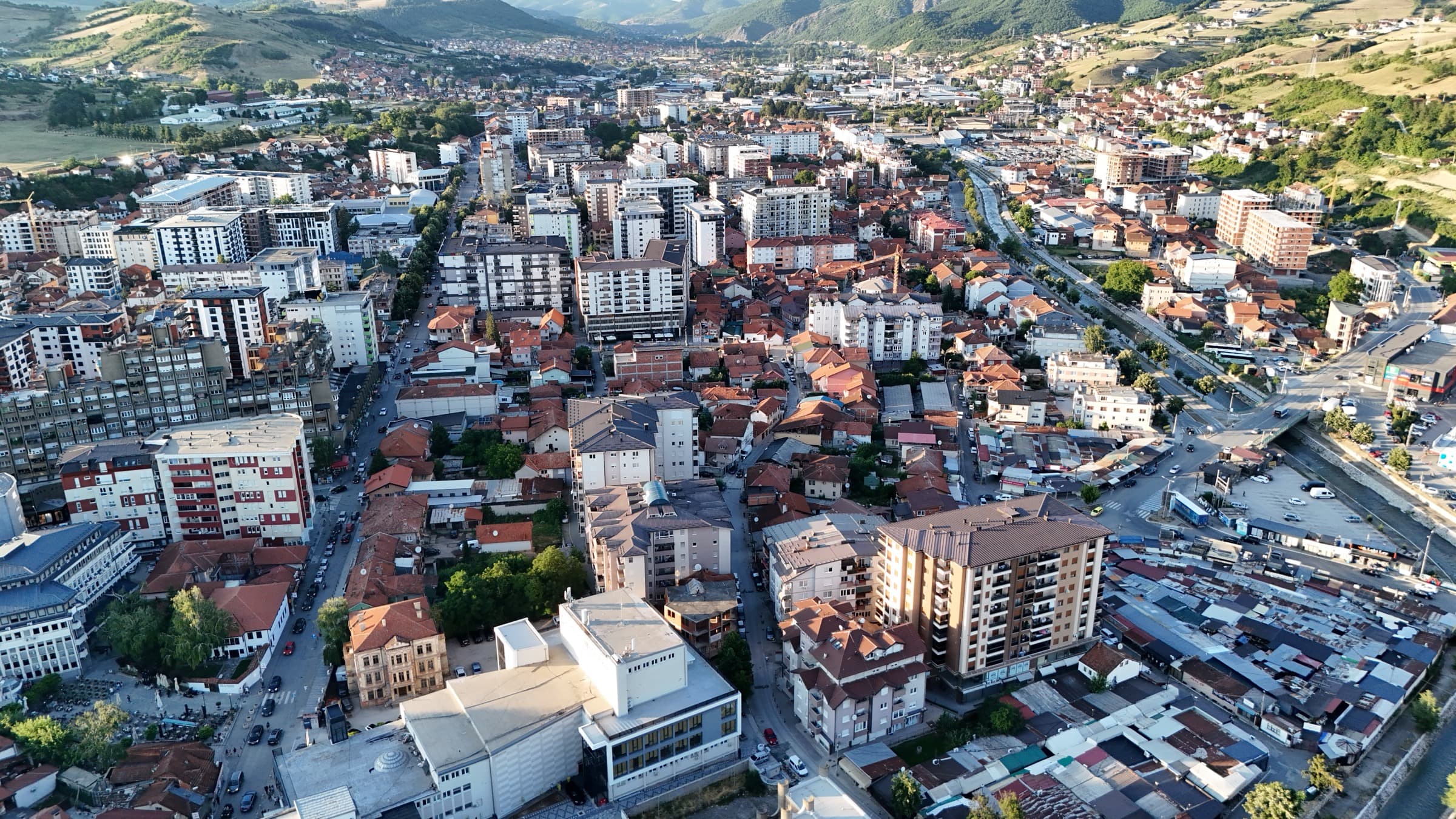
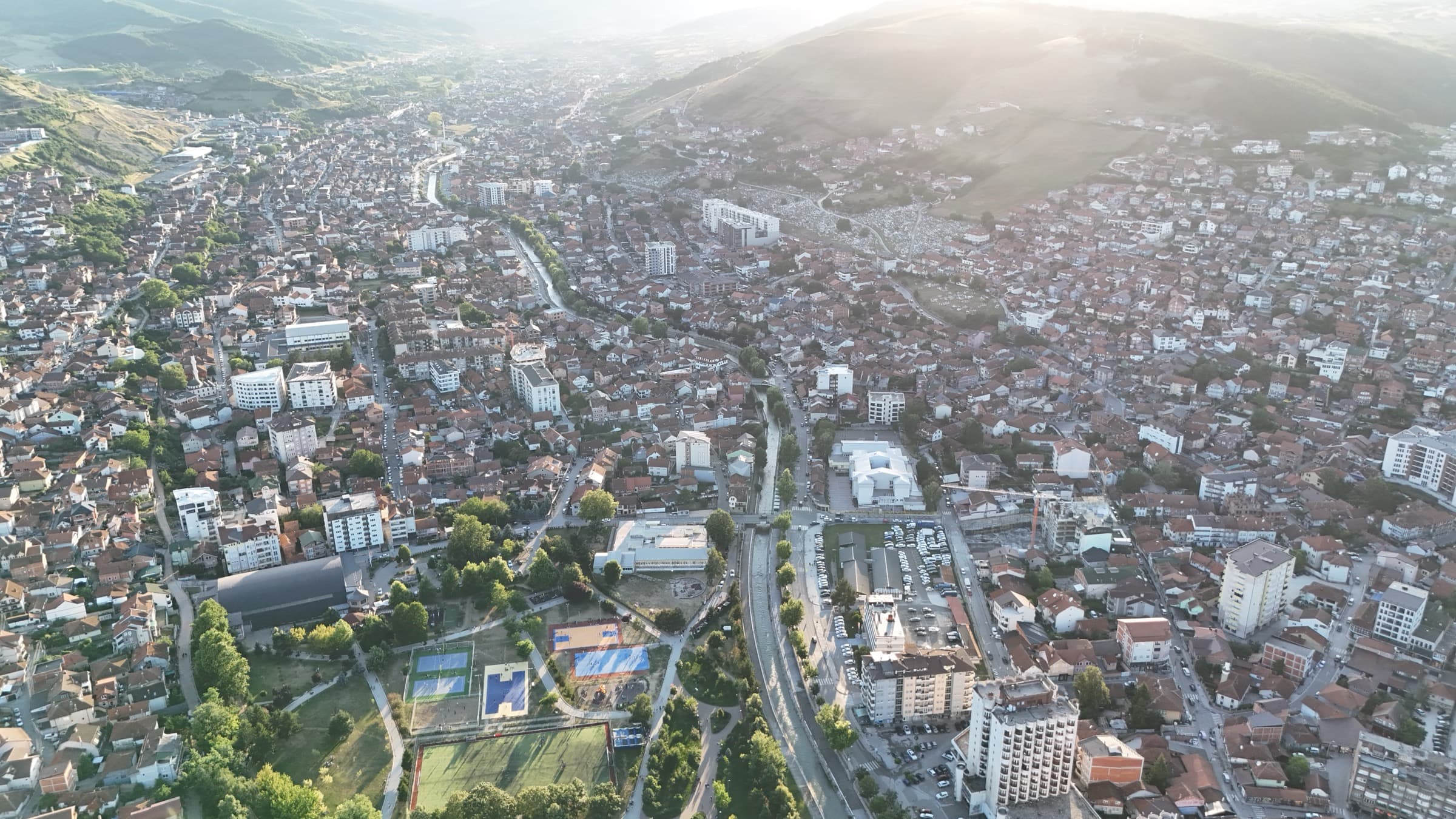
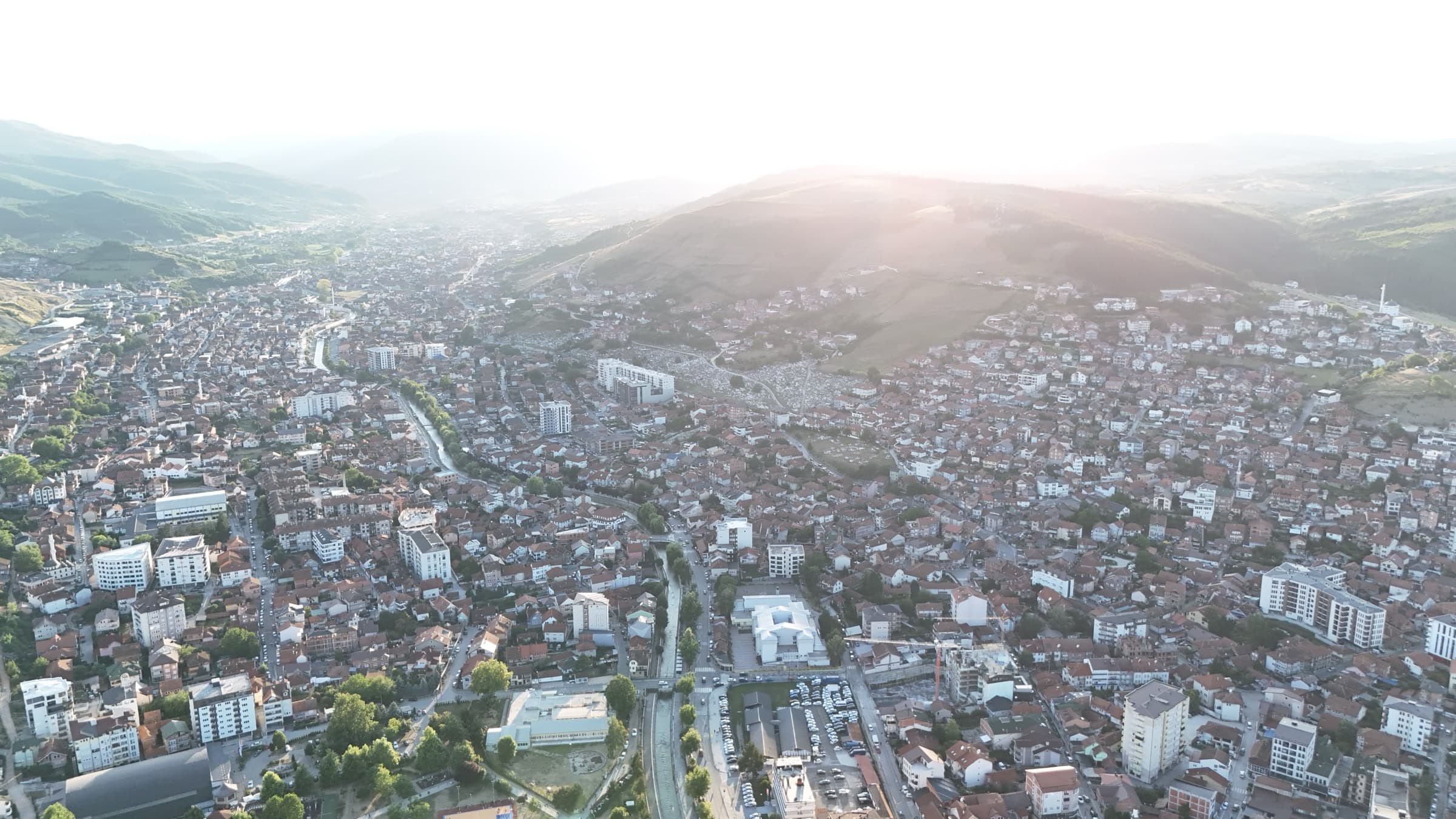
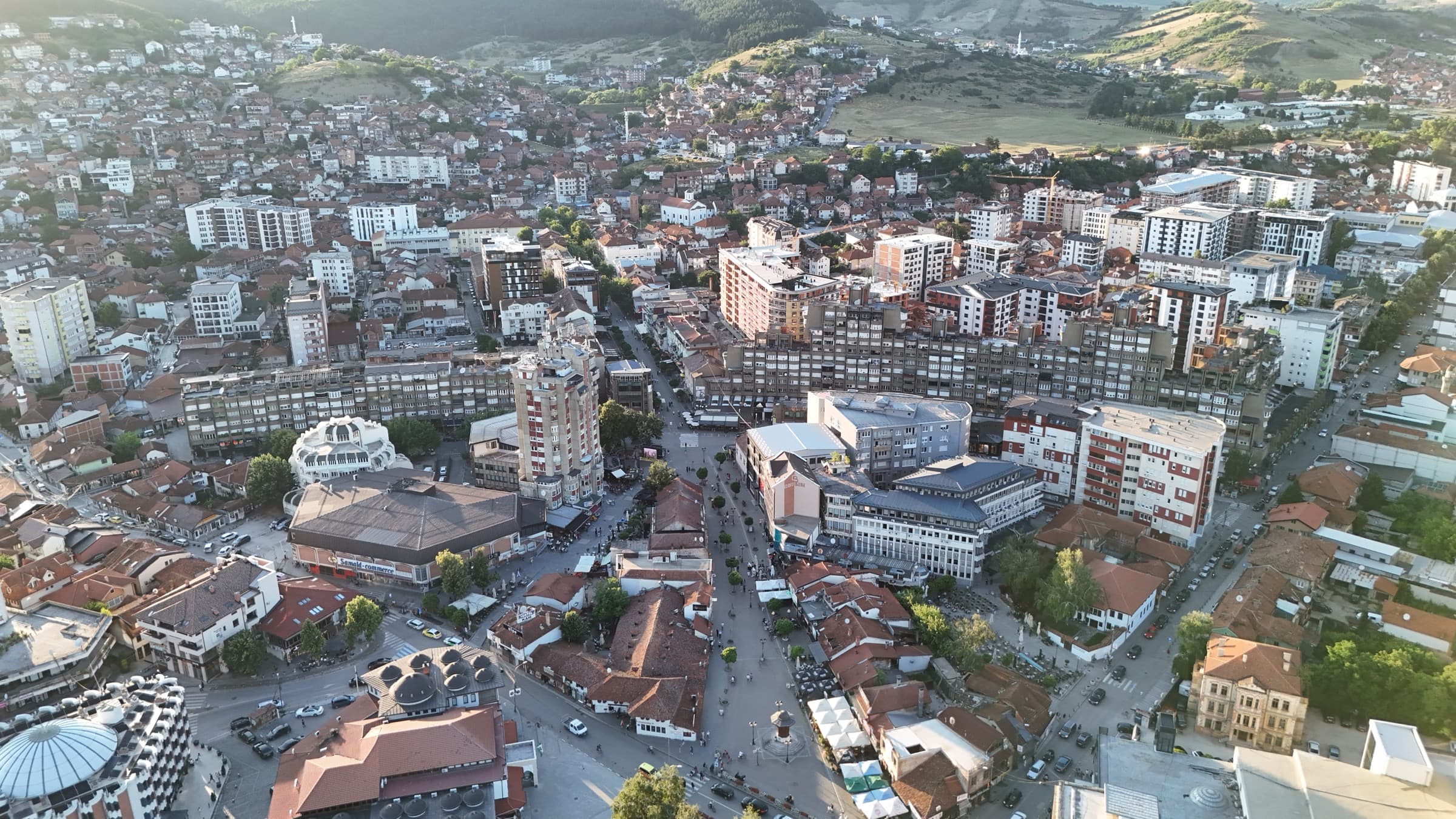
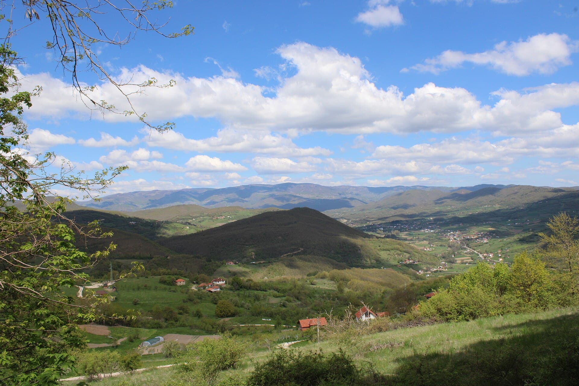
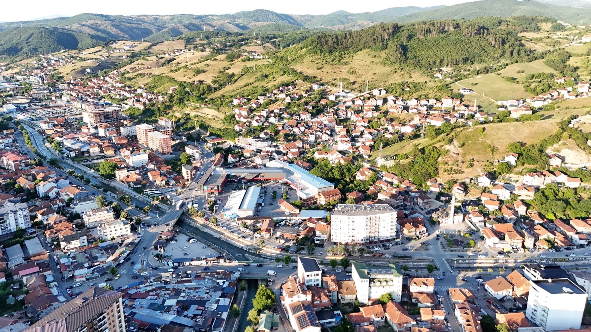
Photo: Novi Pazar in its basin, closed in by hills on every side
Ringed by Golija, Rogozna and the Pešter plateau, Novi Pazar sits in a basin with mountains rising in every direction — thermal springs, river valleys and green space in the middle of town.
Golija
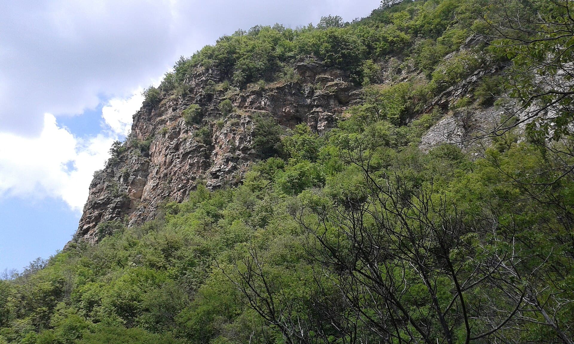
The most densely forested mountain of south-west Serbia and the country's first UNESCO biosphere reserve.
Key facts
- Highest peak
- Jankov Kamen, 1,833 m
- Area
- About 750 km²; the nature park covers 751.83 km²
- Protection
- "Golija-Studenica" Biosphere Reserve, UNESCO MAB, September 2001
- Water
- Over 250 springs and four lakes
- Plant life
- 1,091 species — about a quarter of Serbia's flora
- Animal life
- 95 bird species and 22 mammal species
A mountain between Ivanjica and Novi Pazar
Golija spreads over some 750 square kilometres between Ivanjica and Novi Pazar, part of the Dinaric range. It runs about thirty kilometres north to south in a shallow C-shape, and its highest peak is Jankov Kamen at 1,833 metres. The name recalls Sibinjanin Janko — the folk-song name for the Hungarian commander John Hunyadi — who is said to have left a stone on the summit to mark his passage.
In September 2001 the mountain was inscribed as the "Golija-Studenica" Biosphere Reserve — the first in Serbia to enter UNESCO's Man and the Biosphere programme. More than 250 springs rise here, among them the sources of the Moravica and the Studenica.
What grows there and what lives there
The park has 1,091 recorded plant species, including 117 kinds of algae and 40 mosses — roughly a quarter of Serbia's entire flora on one mountain. Among animals, 95 bird species and 22 mammal species have been listed.
The mountain also holds four lakes — the Košanin Lakes, Dajićko Lake and Nebeska Suza — and the 13th-century hermitages of St Sava. On the northern edge of the reserve, outside the Novi Pazar municipality, stands Studenica monastery, founded in 1196 and a UNESCO World Heritage Site since 1986.
Practical information
- When to go
- Late spring to autumn for walking; access to the higher ground is difficult in winter, and above 1,300 metres the winters are severe.
- Distance
- The mountain begins north of Novi Pazar; the higher ground is reached by car and then on foot.
Rogozna
The mountain that closes the Novi Pazar basin to the south — nearer than Golija, and far quieter.
Key facts
- Highest peak
- Crni Vrh, 1,504 m
- Position
- South-east of Novi Pazar
The ridge you see from town
Rogozna rises south-east of Novi Pazar, on the stretch towards the Ibar. Its highest point is Crni Vrh at 1,504 metres — some three hundred and thirty metres lower than Golija, but much closer to the city: this is the massif you see from every viewpoint above Novi Pazar.
Unlike Golija, Rogozna has no reserve status and none of the tourist infrastructure that goes with it. Access is by village roads, without waymarked paths or signed viewpoints, so a trip is worth planning in advance and, if possible, with someone who knows the ground.
Practical information
- When to go
- May to October; out of season the roads up to the villages are often impassable.
The Pešter plateau
The highest plateau in the Balkans — cold and open — whose eastern edge reaches into the Novi Pazar municipality.
Key facts
- Elevation
- 1,150—1,492 m; highest point Kuljarski Vrh
- The Pešter field
- About 50 km² — the highest field in the Balkans
- Protection
- Ramsar site since 1 May 2006, 3,455 hectares
- Municipalities
- Sjenica, Tutin and Novi Pazar
A plateau that is partly Novi Pazar's
Pešter is a limestone plateau in the Sandžak, lying between 1,150 and 1,492 metres; its highest point is Kuljarski Vrh. Most of it falls within the Sjenica municipality and from there it extends into Tutin and Novi Pazar — so although the drive to its middle takes over an hour, part of it is formally Novi Pazar's territory.
At its centre lies the Pešter field, some fifty square kilometres of flat ground — the largest field in Serbia and the highest in the Balkans. Its peat bogs and wet meadows were entered on the Ramsar list of wetlands of international importance on 1 May 2006, over an area of 3,455 hectares.
Cold, birds and cheese
Pešter holds the Serbian temperature record: on 26 January 2006 the village of Karajukića Bunari recorded −39 °C, beating the previous −38.4 °C set at Sjenica in 1954. Hence the nickname "Serbian Siberia" — an open plateau with no shelter, into which cold air drains and settles.
The wet meadows shelter rare and threatened plants, and the Pešter field is the only nesting site of Montagu's harrier in Serbia. The economy is pastoral: the sheep of Pešter give the Sjenica cheese, lamb and prosciutto for which the area is known well beyond the Sandžak.
Practical information
- Getting there
- West of Novi Pazar, by the road through Tutin towards Sjenica; by car, as a full-day trip.
- When to go
- Summer and early autumn, for the meadows and an easier road; the winters here are the harshest in Serbia.
Novi Pazar Spa
Thermal springs three kilometres from the city, known in antiquity and used right through the Ottoman period.
Key facts
- Springs
- 14 thermal mineral springs
- Temperature
- From 15 to 60 °C; the main spring 54 °C
- Mineral content
- 1.7 g/l, with sulphur and radon
- Distance
- 3 km from Novi Pazar
- Elevation
- 504 m
Water that comes out hot
The spa has fourteen thermal mineral springs whose temperatures run from 15 to 60 degrees. The main spring delivers water at around 54 degrees — hot enough to count as hyperthermal — at roughly a litre per second.
The water is carbonated, with some sulphur and an almost neutral reaction; nitrogen makes up about 70 per cent of the dissolved gas, with slightly raised radon, radium and uranium. Total mineralisation is 1.7 grams per litre.
The Romans, then the Ottomans
The Romans were the first to capture the springs, and the spa was renowned in antiquity. Its popularity fell after the Ottoman conquest in the mid-15th century, but the Ottomans soon recognised the water's worth: on the remains of the Roman bath they raised two hamams, and a little further off a caravanserai. One of the baths is dated to the year 1002 of the Hijri calendar — 1593/94.
The same hydrogeothermal system includes Rajčinovića Spa, with three hot springs at 30, 38 and 42 degrees, whose water is recommended for digestive and metabolic complaints.
Practical information
- Uses
- The water is used for rheumatic and neurological complaints, skin and gynaecological conditions, and in recovery after injury or surgery. For advice on a specific condition, ask a doctor at the spa facility.
- Getting there
- Three kilometres from central Novi Pazar, at 504 metres above sea level.
The Raška Valley
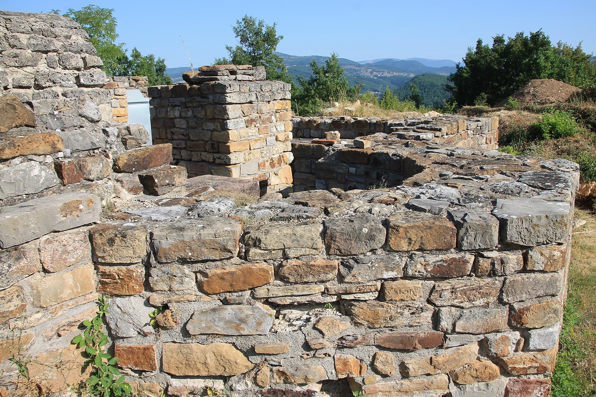
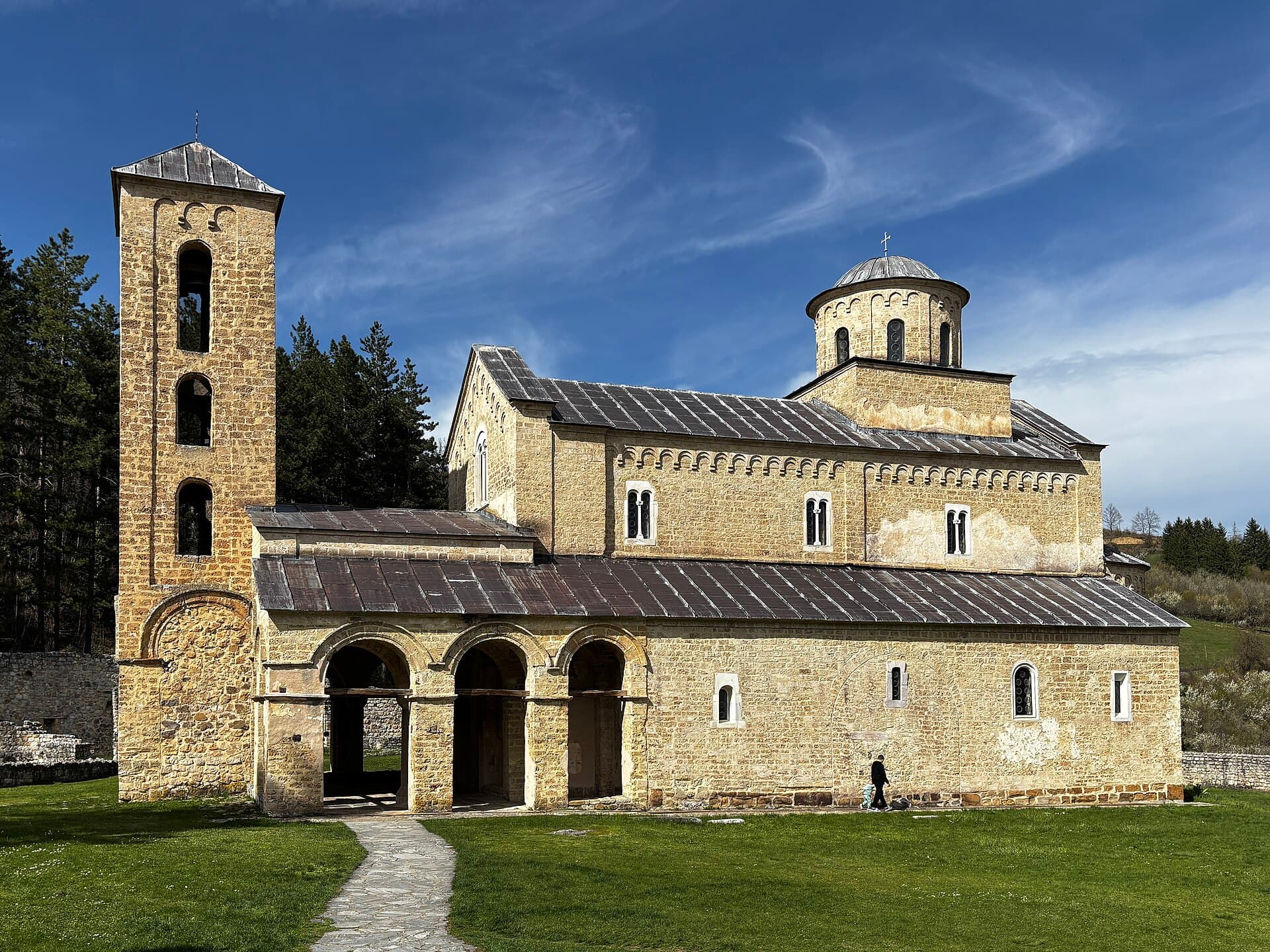
The road west of the city that takes you from the main square to Sopoćani and the Ras fortifications in about twenty minutes.
Key facts
- Direction
- West of the city
- What is on the way
- Sopoćani (15 km) and the Ras fortifications (10—11 km)
One valley, a thousand years
The Raška valley is the densest historical route in the area: within twenty kilometres of road lie the fortifications of the medieval capital, a monastery with 13th-century frescoes, and the headwaters of the river that named the whole region. It all fits into one afternoon.
The river that carves the valley is the same one that runs through Novi Pazar in a channelled bed beside the main square. Upstream the landscape opens out — meadows, fields and hamlets on the slopes — and the road follows the water for almost its whole length.
Practical information
- Suggested route
- City fortress — the Ras fortifications — Sopoćani, returning the same way; half a day by car with stops.
Viewpoints over the city
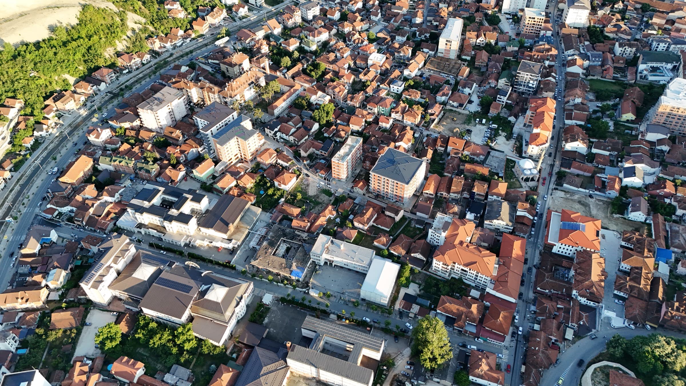
Novi Pazar sits in a basin, so every ridge around it shows you the whole city at once.
Key facts
- Best time of day
- Late afternoon
- City elevation
- 496 m
Where to look from
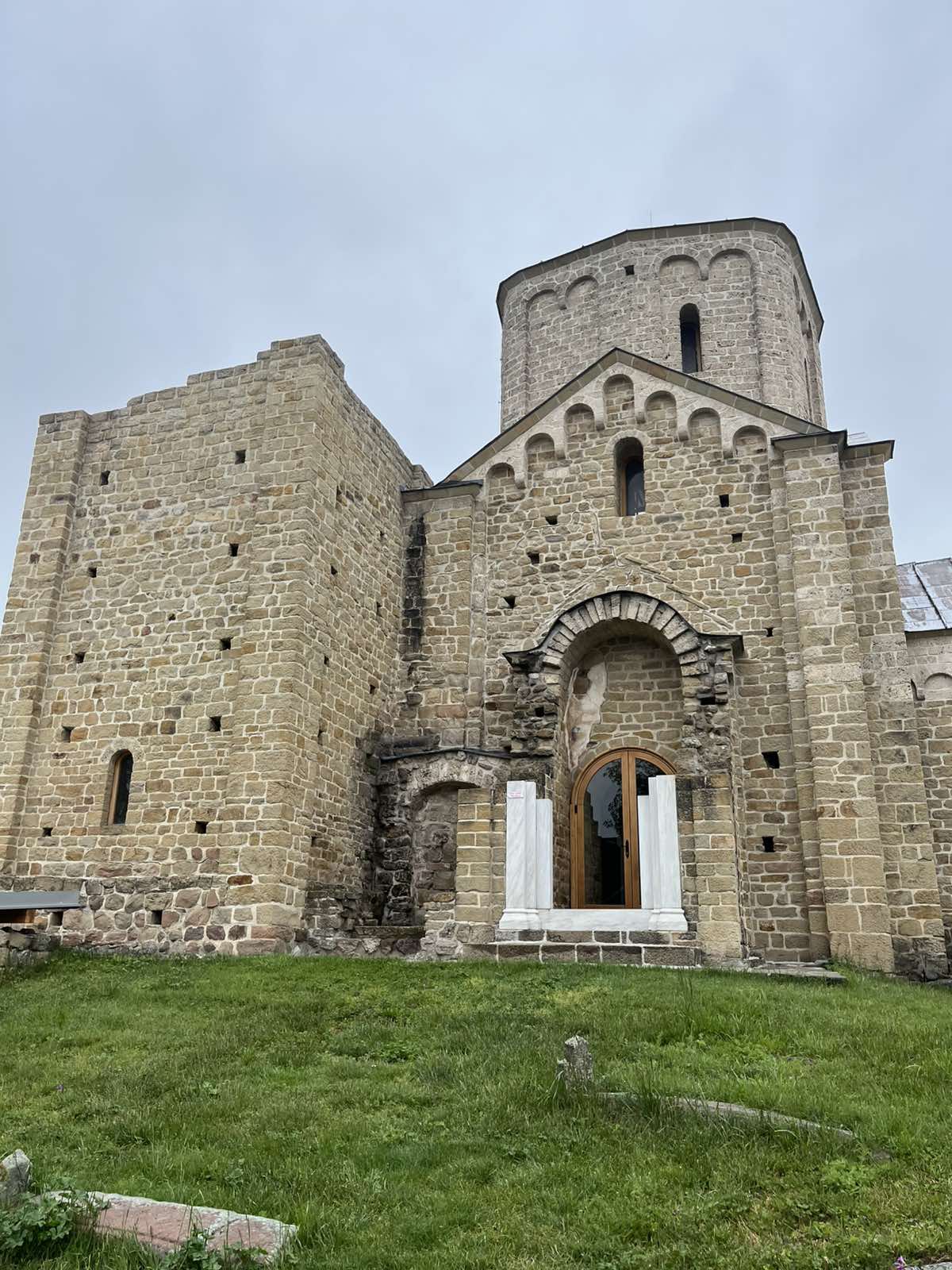
The most accessible view is from the plateau at Đurđevi Stupovi, north-west of the centre, taking in the whole basin and the knot of valleys the city lies in. The hill of St Peter's church, above the road towards Deževa, gives a lower but closer view over the old core.
A third direction is westward, from the slopes around Stari Ras: from there the city reads at a distance, a patch of roofs at the bottom of the basin with Rogozna behind it. You go there for the landscape, not for detail in the streets.
Practical information
- When to go
- Late afternoon, when the light comes from the west; all the viewpoints are open ground with no shade.
Walking in the surroundings
From short climbs to the fortifications above town to full-day routes on Golija.
Key facts
- Short walks
- Đurđevi Stupovi, St Peter's church, the Ras fortifications
- Long routes
- Golija, up to 1,833 m
Close to town
The shortest routes start straight from town: the climb to Đurđevi Stupovi, the hill of St Peter's church, and the plateaus holding the Ras fortifications. All three are short in distance but steep, over unmade ground — shoes with grip and water are essential.
For a longer day the target is Golija, where you walk forest tracks and pasture up to over 1,800 metres. There is no public transport out there: you drive to the starting point and walk from it. Rogozna is closer but entirely unmarked, so it is better attempted with someone who knows the ground.
Practical information
- Kit
- Water, a hat and proper footwear; in summer avoid the middle of the day.
Green space in town
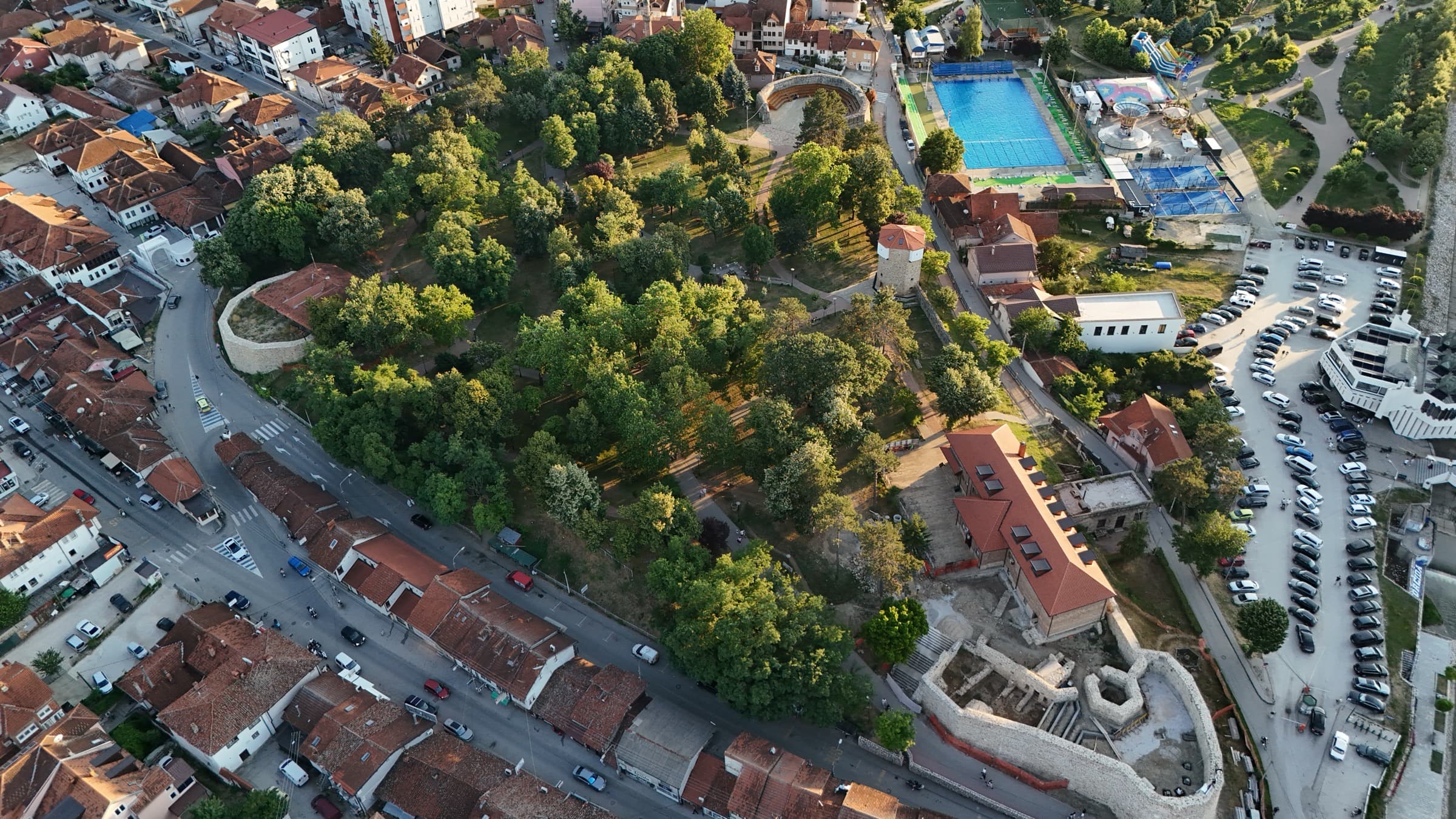
The park inside the fortress, the promenade along the Raška and the sports park — a green belt you can walk end to end in half an hour.
Key facts
- Fortress park
- In the centre, free entry
- By the river
- The Raška promenade
- Sports park
- Playing fields and the city pool
A green line through the centre
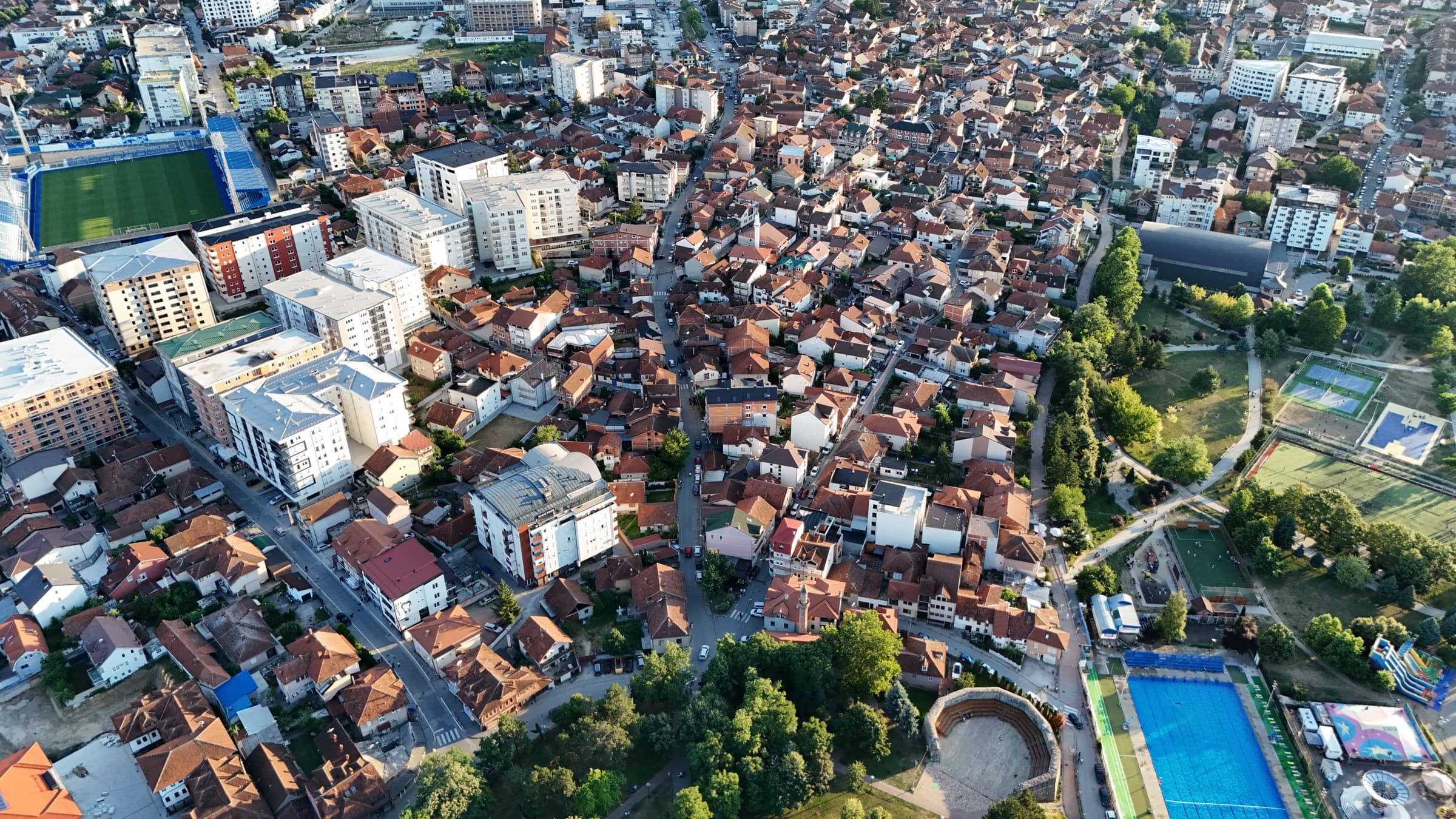
Three green points in the centre run into one another: the park inside the fortress ramparts, the promenade along the Raška, and the sports park with its playing fields and pool. The ground between them is flat, which makes this the easiest way to see the city without a car.
Through the centre the river runs in a channelled bed with a made path beside it, so you can go from the fortress to the sports park without stepping onto a main road. It is also the pleasantest part of town on summer afternoons, when the heat gathers in the basin.